
Why Trimble’s XR10 HoloLens mixed reality system was the unsung hero of KOREC’s Geo Business stand
What a show it was! KOREC was delighted to see faces old and new at Excel and of course to welcome customers onto our mobile mapping, geospatial and mapping stands.
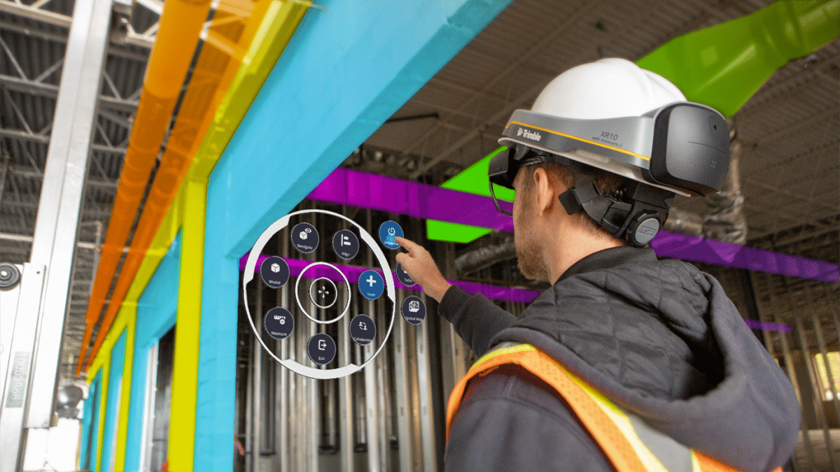
Whilst we were expecting lots of interest in our crowd pleasers the Trimble R12i GNSS, MX50 Mobile Mapping system, X7 3D Laser Scanner and Catalyst affordable centimetre accuracy GNSS , what we weren’t expecting was the high level of engagement our stand visitors had with Trimble’s XR10 mixed reality system, demonstrated tirelessly by KOREC’s Senior Applications Engineer, Sam Hough. Sam spent most of his two days wearing the specially designed hard hat incorporating the mixed reality system and pressing virtual buttons in the air to the interest of many bystanders!
What is mixed reality and the Trimble XR10
Mixed reality is the next step towards freedom from a screen bound experience. The XR10 has been developed specifically for use in applications such as reviewing design models, viewing complex instructions, or collaborating with experts back in the office. In short, it’s the ideal tool for contractors that need to visualise and review their 3D design directly on a physical environment using holographic data.
Practicalities – what the XR10 delivers
However, what Sam was interested to discover was that the mix of visitors to the stand had to say. These visitors included architects, designers, students and engineers working on some of the country’s largest construction projects. Far from regarding the XR10 as ‘technology too new to adopt’ or ‘gimmicky’, these were people who had a clear idea of how they could put it to work in their organisations for both qualitative and quantifiable gains:
- Being able to visualise the model in context (mixed reality) for applications such as clash detection, which in turn would save on rework, site disruption, additional costs etc. Sam’s conservative estimate of the cost of rework in the UK is 5p in every £1. Last year in the UK that would equate to £15bn saved!
- Ability to increase productivity on site through the early detection of challenges often between different contractors
- Visualisation of work that can be shared with all stakeholders (including non-technical people in any part of the world)
- Planning by being able to walk around a full 3D model in the office making it possible to spot health and safety implications and carry out basic measurements – will a crane fit through that doorway?
- Reducing travel emissions and costs by allowing people to collaborate using the XR10 and Teams from anywhere in the world. In short,lower numbers of operatives on each site
whilst remote technicians have high quality 3D information for solving problems without being physically present.
Rewarding feedback
For Sam, the show was particularly rewarding because of the customer feedback he received. Those that were less familiar with the XR10 could already see how it could help on their site with obvious benefits like early clash detection or communicating with stakeholders elsewhere. Those already using it were delighted by the short learning curve and were asking about even more innovative applications for it.
Looking ahead, Trimble will continue to extensively develop the XR10 regarding it as very much the future in AEC work and of course we’ll bring you all the latest news as it happens on LinkedIn and our blog.
Finally, if you’re interested in finding out more about HoloLens technology, do take a look at this great report.
See you next year!
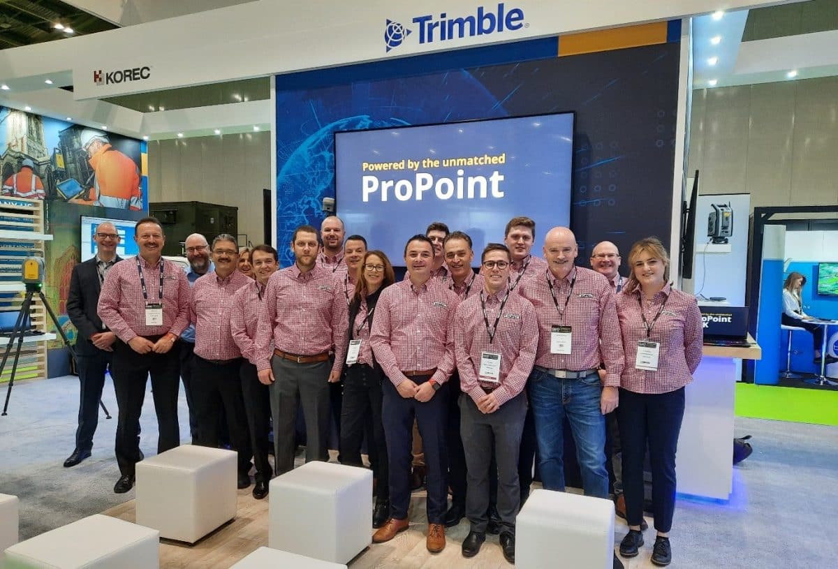
As we sign off with our final piece for the Geo Business newsletter, normally we’d be saying, see you same time, same place next year. Not so! We will of course be back in six months and look forward to welcoming you with more great technology, exciting extras (did you meet our magician?) and of course a full team from KOREC!
Our thanks to Geo Business and everyone who visited our stands, attended our talks, had a coffee and chat with us and made this a memorable show for all involved.
KOREC