
Eleanor Mair, Web GIS Manager at Savills, explains what can be achieved when the culture of a 160-year-old land agency firm fuses with a young and agile GIS technology company.
The Challenge
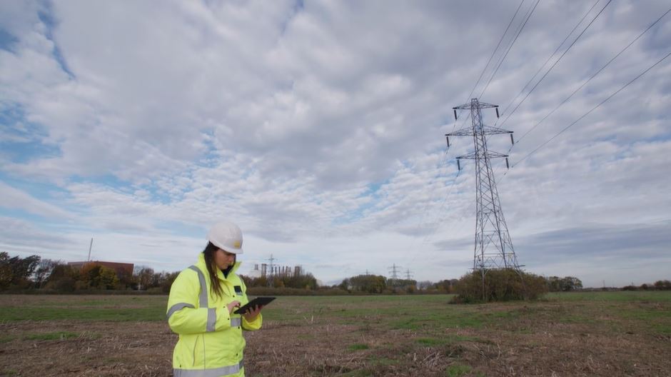
Savills is a global multi-disciplinary firm of Chartered Surveyors advising clients on all aspects of property management, development and transactions. The Savills’ infrastructure team specialises in providing land referencing and land assembly services to its utility and infrastructure clients across the UK. Land referencing and land assembly involve researching and identifying people and organisations that have a legal interest in land or property and compiling the details of those interests. Land referencing is a critical early step in any development project and has a major influence on the design options, securing land access, managing stakeholder engagement and the legal processes relating to land assembly.
Savills Infrastructure is responsible for consulting landowners to allow for surveys to take place or obtain agreements for work to be carried out, for example, upgrades to an existing pipeline or construction of an overhead electricity line. Traditionally, much of this work required utilising use of a variety of maps, trackers, emails and legacy systems such as documents and spreadsheets, often stored in different locations and not always easily accessible by all working on projects. To deliver a more effective land agency service, there was the need to coordinate stakeholders with different needs and expectations on each project. Savills was therefore seeking to deploy a user-friendly, map-driven, digital project platform that could streamline the process and have the ability to scale up to support expected growth.
Savills saw an opportunity to implement a definitive, online projects platform, combining GIS and landownership data, fostering the ethos that land and people are intrinsically linked and data relating to this cannot and should not be separated in different systems or documents. To achieve this, Savills paired with thinkWhere as their technology partner. Idox since acquired thinkWhere in 2021 and has continued working with Savills since then.
The Solution
To design an effective solution, a user-centric approach was adopted. Through a comprehensive Discovery Exercise, thinkWhere helped us map out the key stakeholders, user types, core workflows and activities to inform the essential features and capabilities required of the new solution.
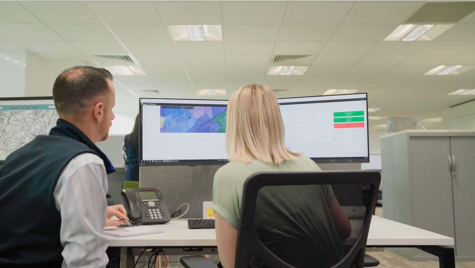
The solution had to be secure, map-driven, cloud-based, support multi-projects and multi-users with permission driven access to content from a single source of truth. A managed service for the GIS technology solution, mapping and geospatial data were also important to enabling Savills and their project stakeholders to fully focus their time on applying their professional domain experience to the business aspects of client projects without worrying about the technology and mapping.
The project team were able to build on thinkWhere’s existing core GIS SaaS platform, groundMapper, which is well established and trusted in the industry. Using agile project management methodology, the core system was developed over a period of 12+ months and extended in a modular fashion, to produce an innovative system that delivered an integrated, digital projects platform; now coined SMART – Savills Mapping and Referencing Tracker.
The Benefits
With a single accessible platform, available online at all times and from anywhere, our project stakeholders see major benefits. Project efficiency has increased significantly with project teams no longer having to spend time looking for information in multiple locations and in different formats.
We have found that Stakeholder engagement is improved, with users able to self-serve information from definitive and authoritative data for the project. This generates a much stronger sense of ownership, trust and buy-in across the project team.
Moreover, the dependence on GIS or land agency specialists has diminished as even novice users of the system can easily access information, produce their own maps and update records, reducing dependencies on others and liberating the use of data. Conversely, these specialists can focus their time on other value-added activities, developing their skills and capabilities, driving continuous improvement forward. SMART has democratised data access and unified the previously disparate systems to enable a streamlined digital experience for users of all abilities.
Delivering the project underlined the importance of very careful change management when delivering transformative projects, achieved through involving multiple stakeholders in the process and ensuring communication is carefully conveyed through roll-out. Some results that were not anticipated have also been seen, including helping Savills to break down the traditional perception of land agents and modernise the culture of the industry.