
We’re delighted to be back at this year’s GEO Business, which is why the KOREC/Trimble offering is bigger than ever. Look out for three separate show areas, six presentations and of course all the latest technology.
In the first GEO Business newsletter, we focused on our Stand B40 for Surveying, Scanning and Monitoring. In this second newsletter, it’s all things mapping on KOREC Stand C1 including:
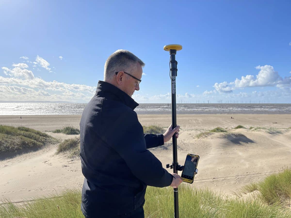
Trimble Catalyst – delivering the most cost-effective method for achieving cm positions
Trimble Catalyst is a revolutionary, GNSS concept delivering positioning as a service to mobile devices. It turns your existing Android or iOS device into a precision mapping, navigation and measurement tool that you can use with any location enabled app or service including KOREC Capture and Esri FieldMaps.
The cost of the Catalyst hardware has been kept low at just £300 per receiver and subscriptions come in a range of choices depending on the number of licenses required and hours used.
But who is Catalyst most suitable for? The best way to assess how cost-effective Catalyst would be for your needs is to base it on the number of points you’d typically collect over the period of a year. For example:
User 1 (Based on an occasional need for cm positions, for example, putting down ground control points for aerial surveys or recording positions for soil sampling):
Collects 30 points in a day, 10 days in each month = 3600 points per year
Catalyst kit costs = £780 / Cost per point = 22 pence
User 2 (Based on a day in/day out need for cm positions, for example a professional land surveyor carrying out topo surveys):
Collecting 500 points a day, 5 days per week, 50 weeks per year = 125,000 points a year
Trimble R12 GNSS kit cost = £11,200 / Cost per point = 9 pence
If User 1 had purchased a Trimble R12 GNSS, they’d be paying around £3.11 per point i.e. 14 times more per point than they need to! They are therefore the perfect candidate for Trimble Catalyst.
To find out more about the business case for Trimble Catalyst, hear about real life examples backed up by numbers and see the latest release of this system, the DA2 Receiver, come and visit us on KOREC Stand C1.
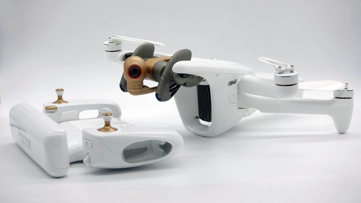
Parrot Anafi Ai drone – a new drone with Ai flying
KOREC offers a full range of senseFly fixed wing and Parrot rotary drones, but at this year’s Geo Business it’s the recently released Parrot Anafi Ai that takes centre stage.
The ANAFI Ai provides professionals features that really matter: 4G as the new communications standard, 48 MP of imaging accuracy, intelligent obstacle avoidance for autonomous photogrammetry missions and a unique robotic platform with the first open-source piloting application. The ANAFI Ai embeds a Secure Element that protects both the integrity of the software and the privacy of data transferred.
In short, the ANAFI Ai allows you to capture detailed imagery, making it the ideal solution for mapping, surveying, 3D modelling, construction management, automated surveillance and video creation.
The KOREC C1 stand will also feature a full range of Trimble GNSS data loggers and of course our own dedicated mapping software KOREC Capture including industry-specific workflows which combine desktop management software with in-field, mobile applications for easy field-to-office data management.
Finally, as a newly appointed Esri Silver Tier Business Partner, the KOREC mapping team is available to assist Esri users with the integration of GNSS into their workflows.
Post written by:
KOREC Group